Here you can find historic maps of Kenton County, Kentucky. These maps provide a glimpse into the
county's past, showing how the area has developed over time.
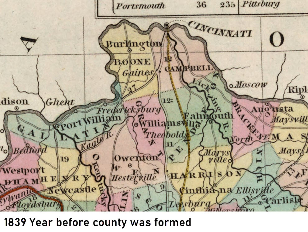
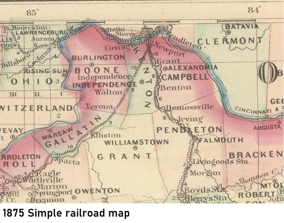
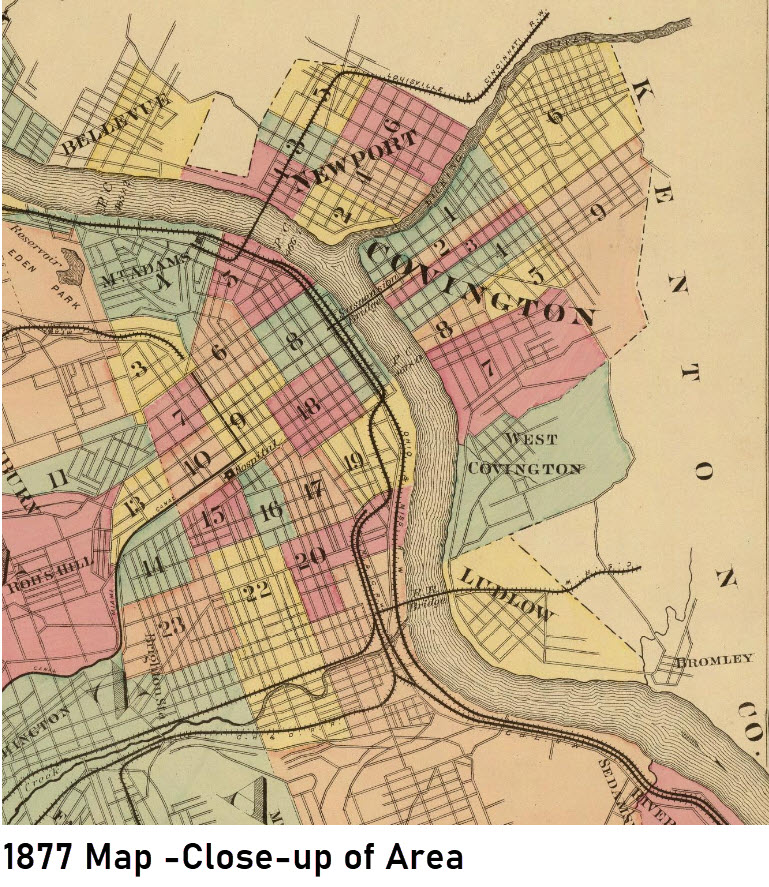
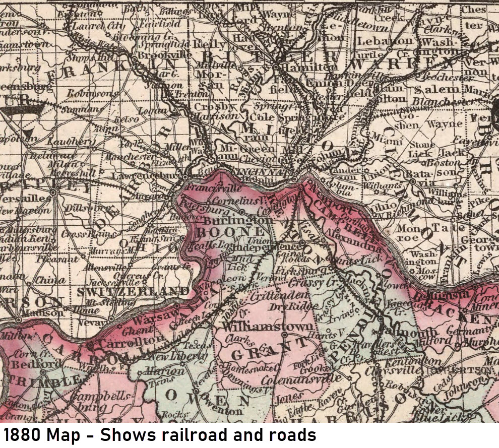
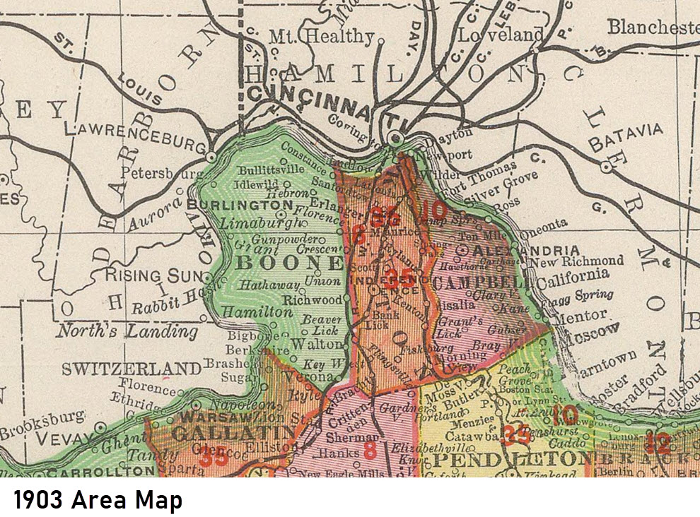
Prior to the county being formed, the area looked like this map.This map shows Kenton County as it appeared in 1875.This map shows a close-up view of Covington and the surrounding area around the Ohio River as it appeared in 1877.This map shows Kenton County as it appeared in 1880.This map shows Kenton County as it appeared in 1903.