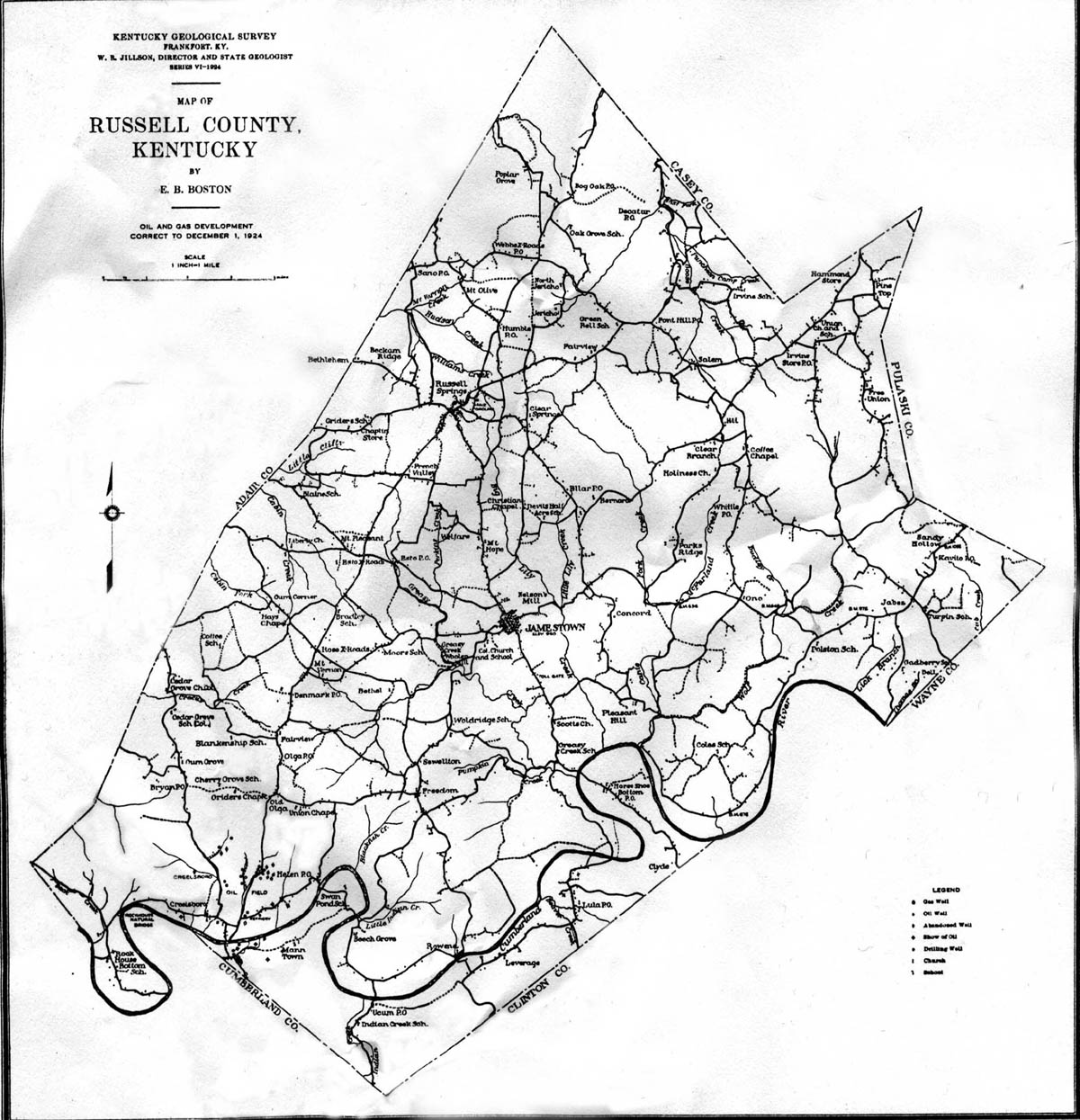
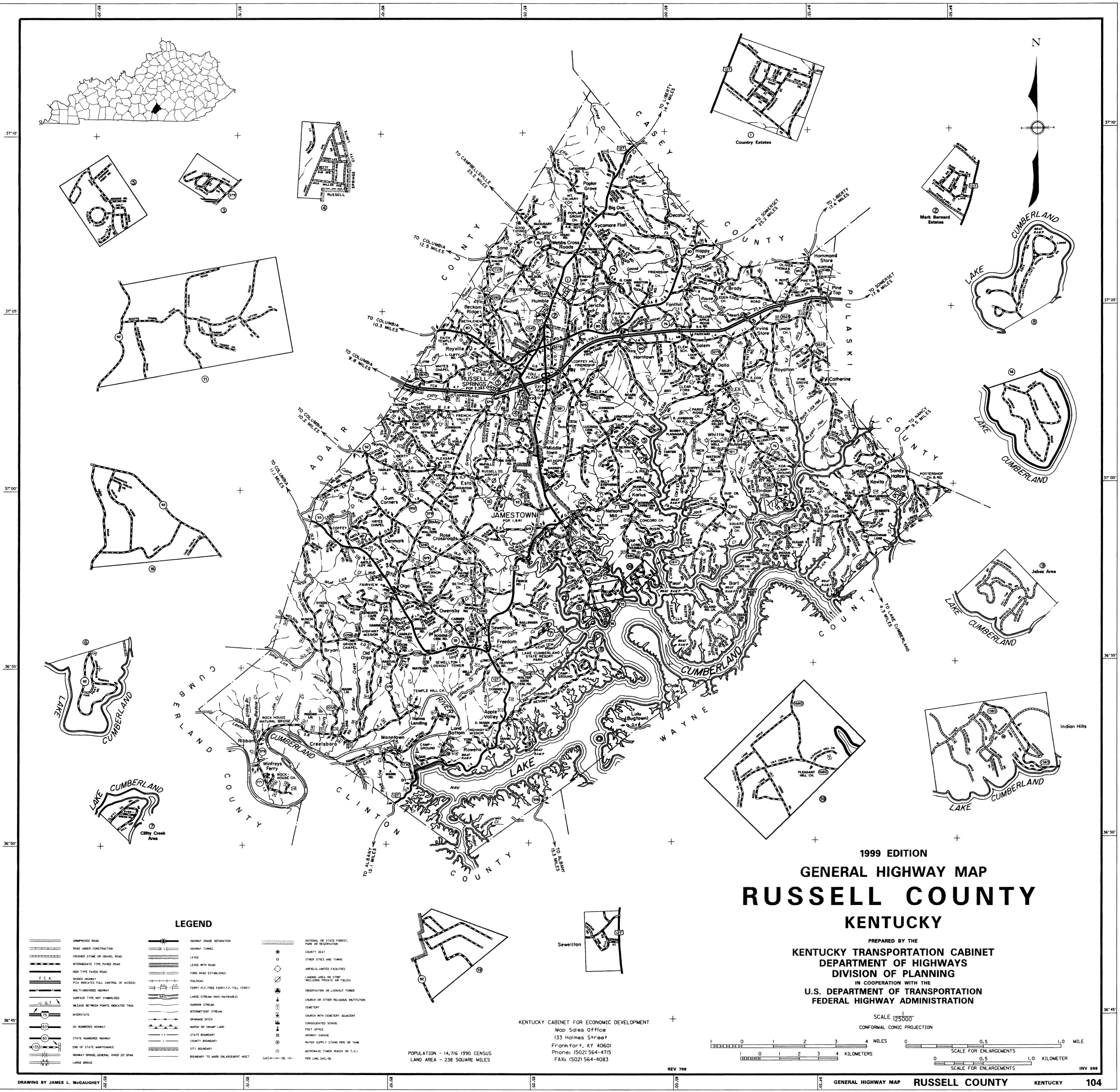
Towns or wide spots in the road
The county has three incorporated towns:
Jamestown, Russell Springs,
and Royville. The population of Russell County was 10,542 in 1970; 13,708
in 1980; and 12,716 in 1990.
Areas with the County
Towns or other areas located within the county. List provided courtesy of
Melissa Robertson.
- Big Boiling Springs
- Brady
- Campbellsburg
- Catherine
- Clyde
- Creelsboro (Creelsburgh)
- Dallo
- Decatur
- Dell
- Denmark
- Duly
- Eli
- Eller
- Esto
- Freedom
- Helm
- Humble
- Indian Hills
- Irvins Store
- Jacksonville
- Jamestown
- Karlus
- Kavito
- Kells Shop
- Kenwood
- Kimble
- Lairsville
- Longstreet
- Lula
- Oho
- Old Olga
- Olga
- Ono
- Owensby
- Ribbon
- Rose Crossroads
- Rowena
- Royville
- Russell Springs
- Salem
- Sano
- Sewellton
- Stokes
- Sunshine
- Webbs Cross Roads
- Whittle
- Wild Goose
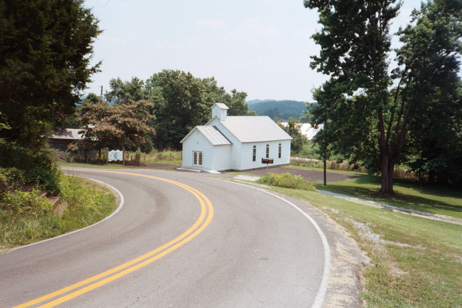
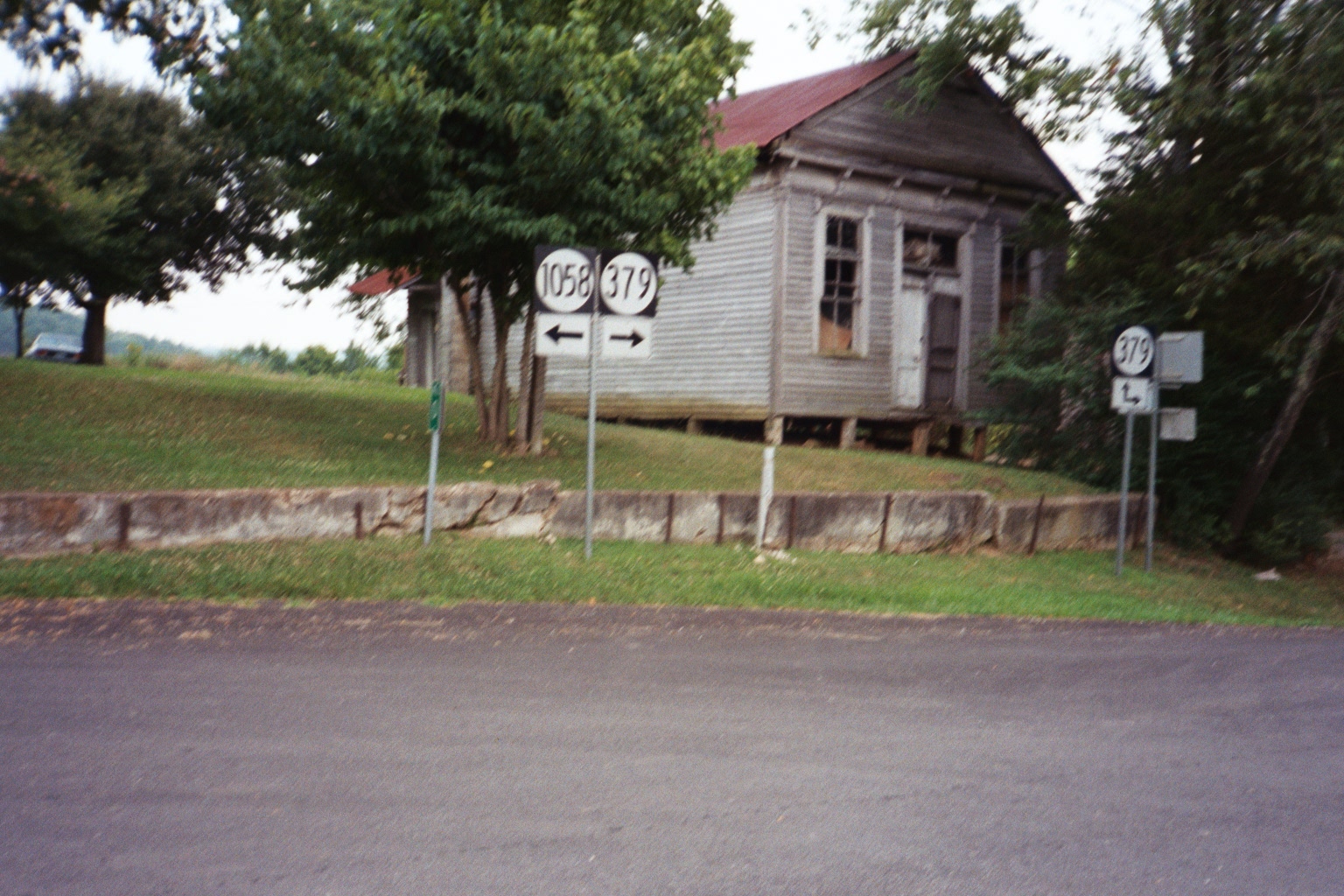
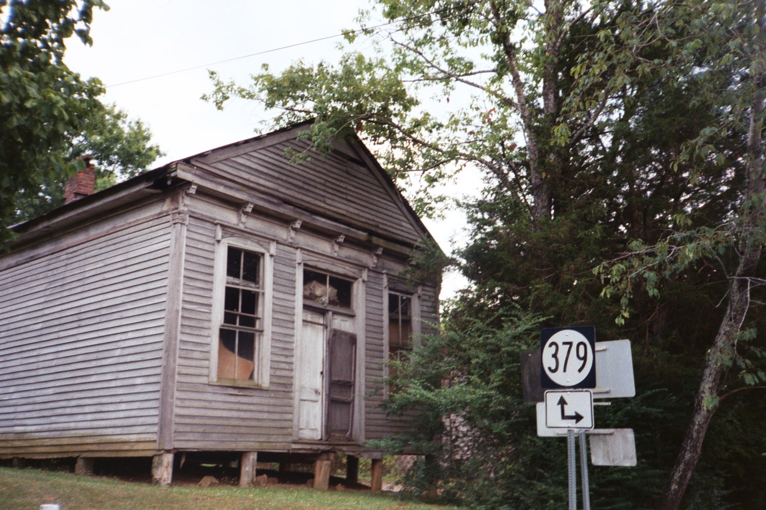
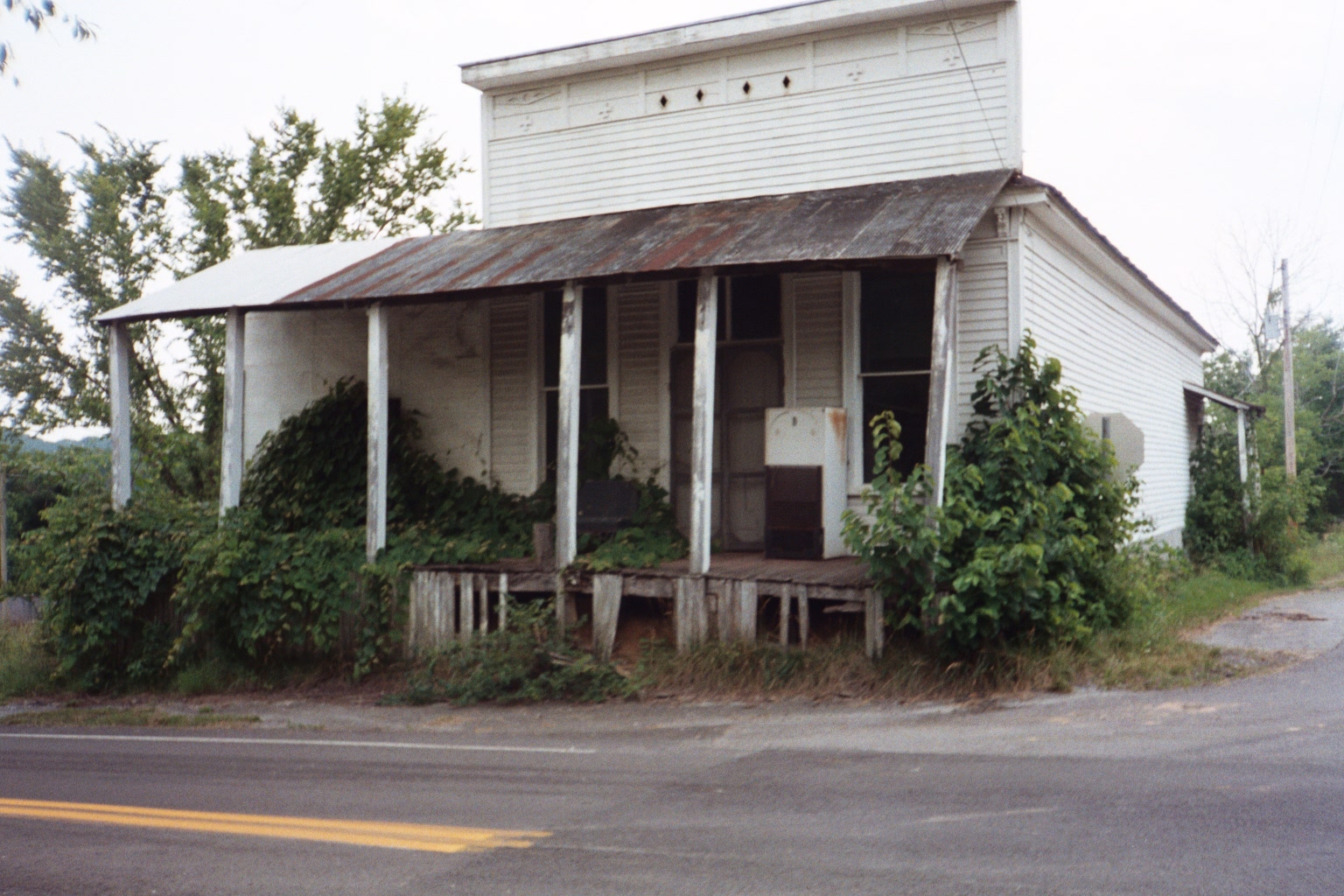
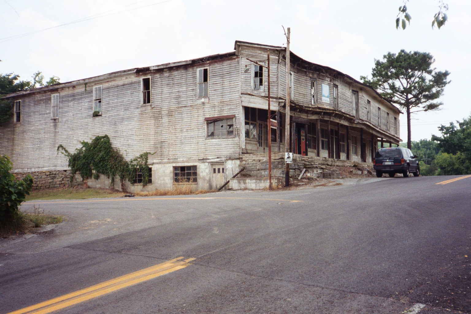
Creelsboro - Important Hub Before Russell County
The town of Creelsboro, the oldest settlement in the area, was thriving
some 16 years before Russell County was formed. It was named for Elijah
Creel, an early settler. At one time Creelsboro was the busiest river port
on the Cumberland River between Nashville, Tennessee and Burnside,
Kentucky. Steamboats that supplied most of the transportation of foods for
a five-county area put into port at Creelsboro, where there was a bank, a
school, three stores, and a building that provided lodging for steamboat
passengers.
Today, the few remaining original buildings stand vacant, devoid of the
hustle and bustle of the steamboat days, falling victim to disrepair and
decay with only a historical marker at the side of the road.
Nearby is Rock House, a natural arch
formation where many of the early settlers held church services and
revivals.
Photos: Special thanks to Steve Conner for these wonderful photos.
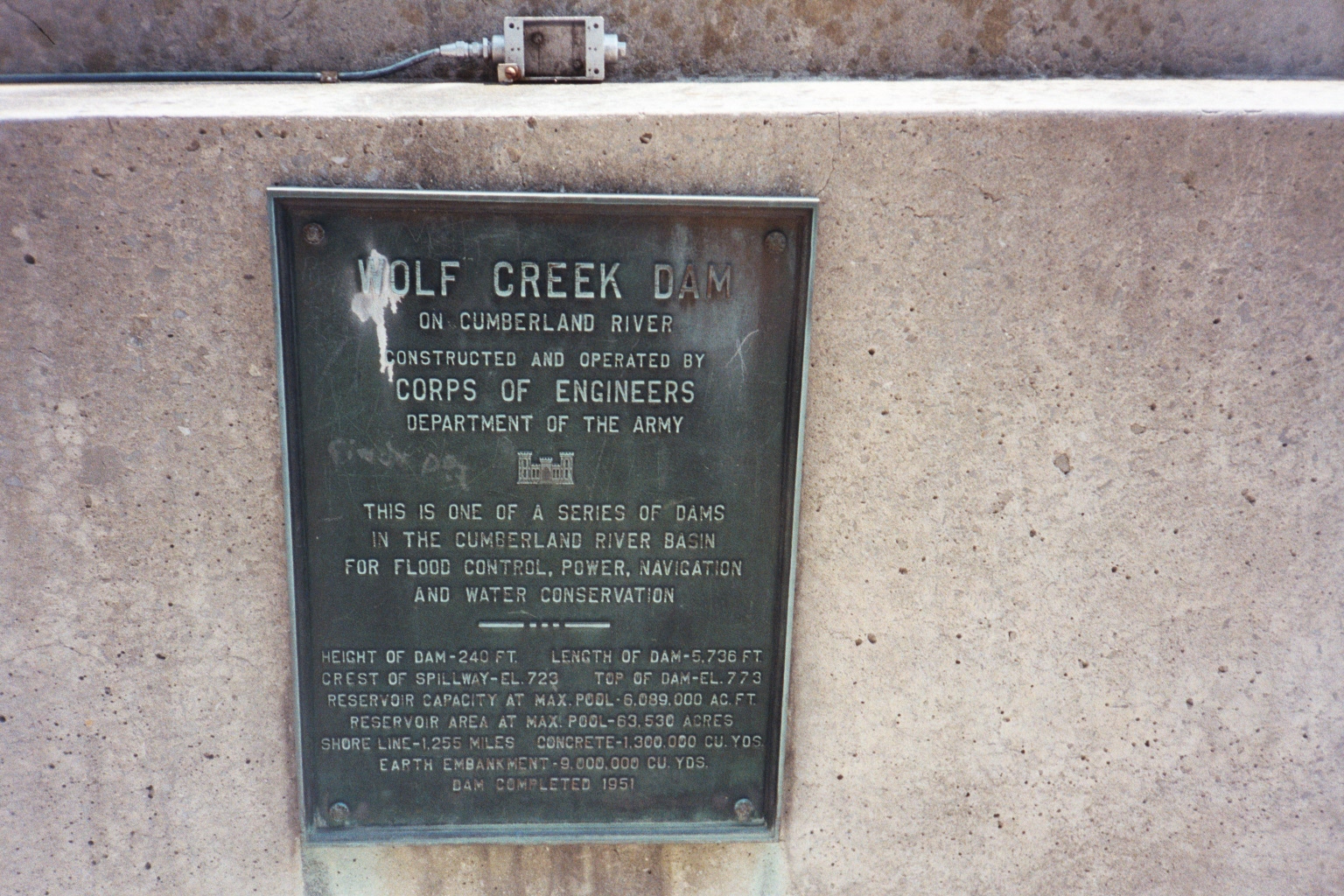
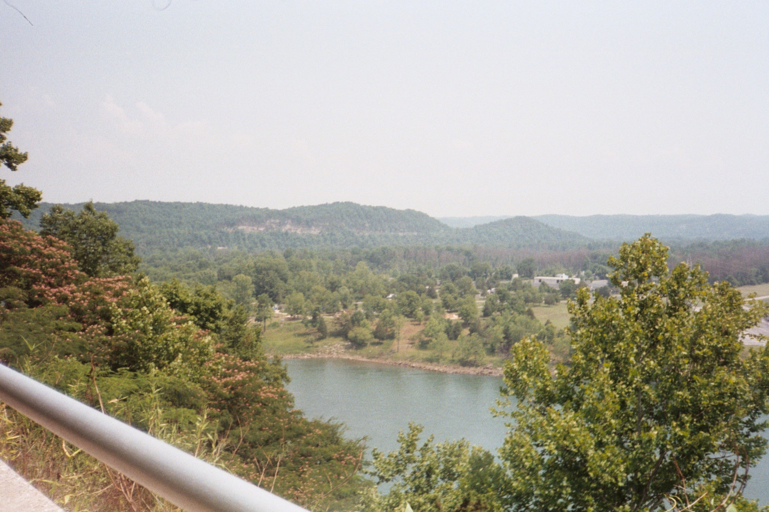
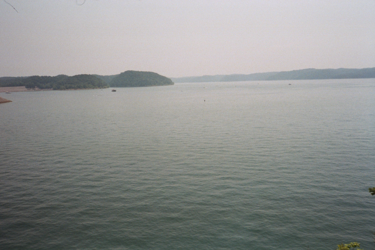
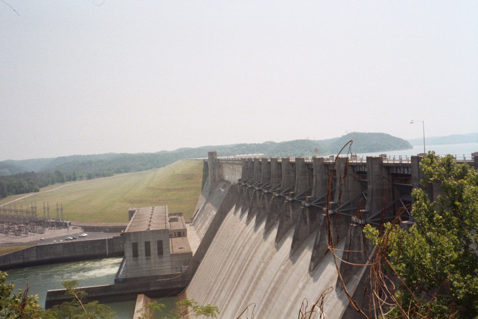
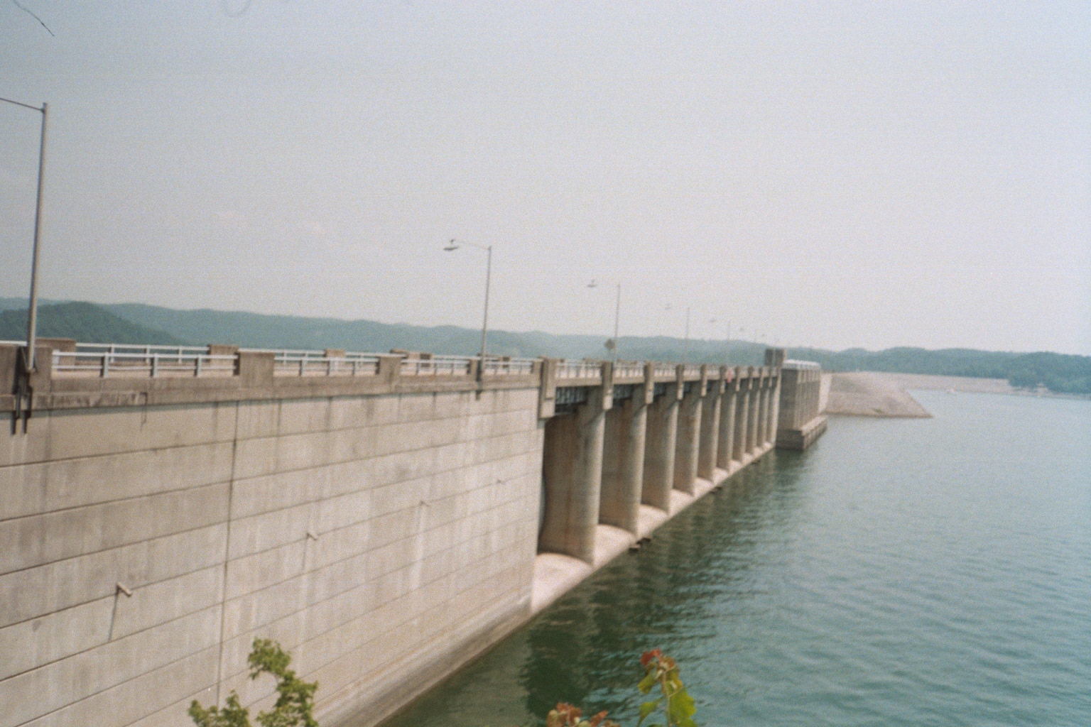
Wolfe Creek Dam and Lake Cumberland
The construction of Wolf Creek Dam and the creation of Lake Cumberland marked one of the most disruptive
events in Russell County’s historical record. Completed in 1952 by the U.S. Army Corps of Engineers, the
project permanently altered the Cumberland River valley, flooding long-standing communities, farms,
churches, cemeteries, and road networks. For genealogists, this means that many familiar place names,
burial sites, and land descriptions found in earlier records no longer exist on the modern landscape.
In advance of the rising waters, some cemeteries were relocated, some were only partially moved, and others
were documented incompletely or not at all. Family burial grounds, especially those on private land or near
the river, were among the most vulnerable. As a result, death records, obituaries, and family histories may
reference burial locations that cannot be physically located today. These absences often reflect loss to the
lake rather than missing documentation.
The lake also reshaped migration and residence patterns. Families displaced by the reservoir relocated
within Russell County or moved into surrounding counties, sometimes appearing to “disappear” from local
records in the mid-twentieth century. Deeds, tax records, school records, and church memberships from the
decades surrounding dam construction can provide critical clues for tracking these transitions.
Understanding
the impact of Wolf Creek Dam helps place mid-century gaps and sudden relocations into proper historical
context.
Photos: Special thanks to Steve Conner for these beautiful photos.