Early Kentucky Map
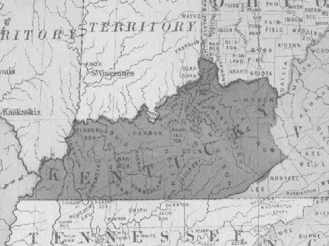
Source: Tunison's Peerless Universal Atlas of the World.
Contributor: Kenneth L. Dyer

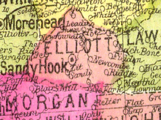
Source: Tunison's Peerless Universal Atlas of the World.
Contributor: Kenneth L. Dyer
Source: Tunison's Peerless Universal Atlas of the World
Countributor: Kenneth L. Dyer
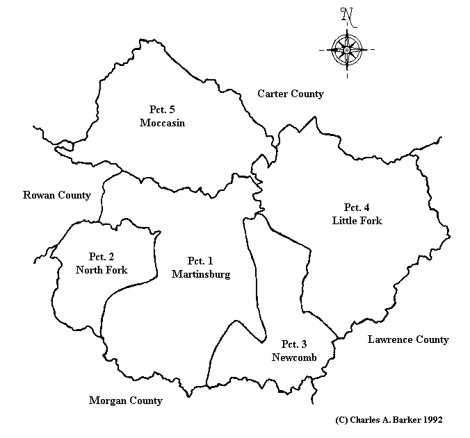
This map, drawn from the description in Elliott County, Kentucky Deed Book 1, shows the location of the different precincts of Elliott County when it was formed in 1869. These precincts were the census precincts when the first census was taken in 1870.