Maps
Estill County, Kentucky
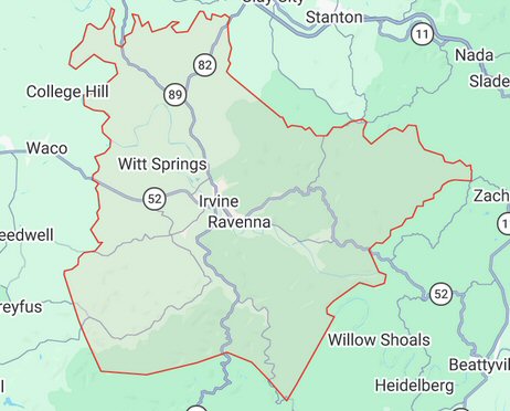
Current Boundaries of Estill County
The map below shows the present-day boundaries of Estill County, Kentucky. It is included as a reference point for the historical maps in this section.
Historical Maps of Estill County
Historical maps often preserve information that cannot be found in census, vital, cemetery, or land records. Roads, streams, schools, churches, communities, oil developments, and property boundaries can frequently be identified through contemporary maps.
The maps presented here are intended to assist genealogists, historians, land researchers, and anyone interested in the history of Estill County, Kentucky.